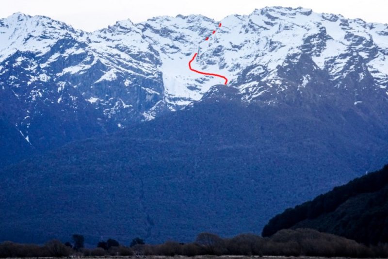
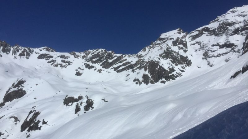
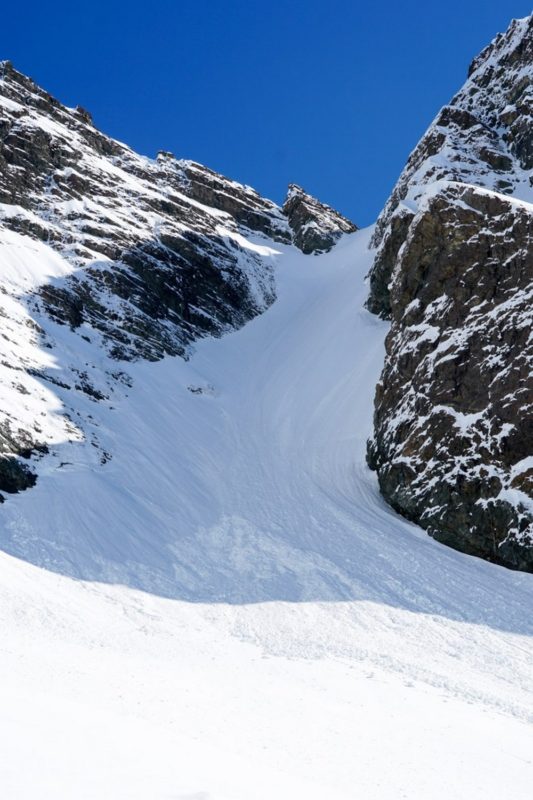
By Joel O’Rourke – Bon-what? Yeah, I said the same thing. A quick google search reveals it’s a mountain near the Routeburn Track behind Glenorchy. There is a small glacier (Bryant Glacier) that hangs above the valley and two couloir, one to the north and one to the south of the peak. Given the recent warm weather, heavy rainfall and perhaps, not overly solid freeze, I decided to try my luck on the Northern Couloir which is protected from the sun.
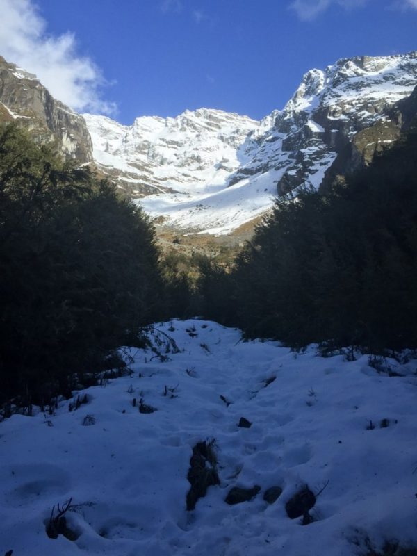
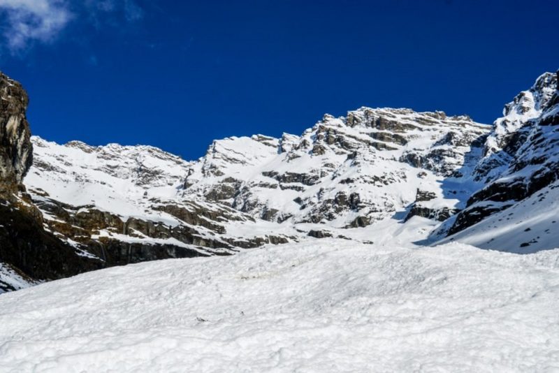
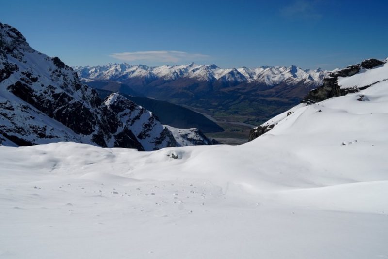
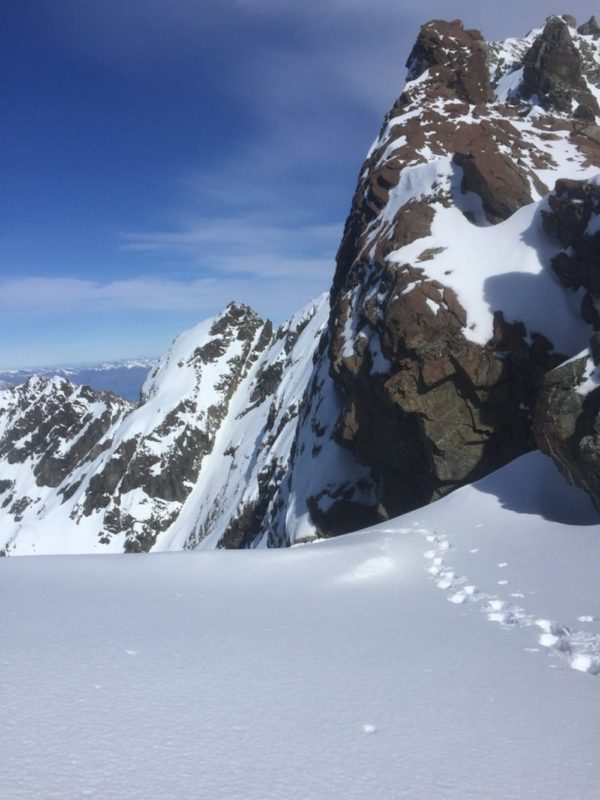
Two hours of hiking up from 300m road level, through dense forest an finally alpine grass and riverbed, I arrived snow line (1100m). Still a long way to go to 2300m ridge line. Many hours later, and I crossed the glacier and crampon’d up the couloir.
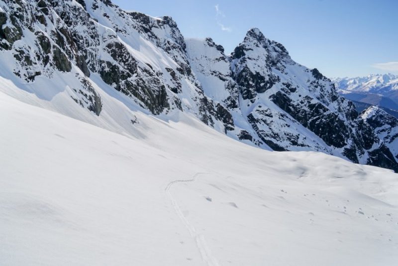
The top of the couloir is damn steep, combined with just barely edge able crust it was an ‘exciting’ descent. Good day and very close to my goal of getting back to 2000 vertical metre days.
You must be logged in to post a comment.