Most photos by Adrian Camm
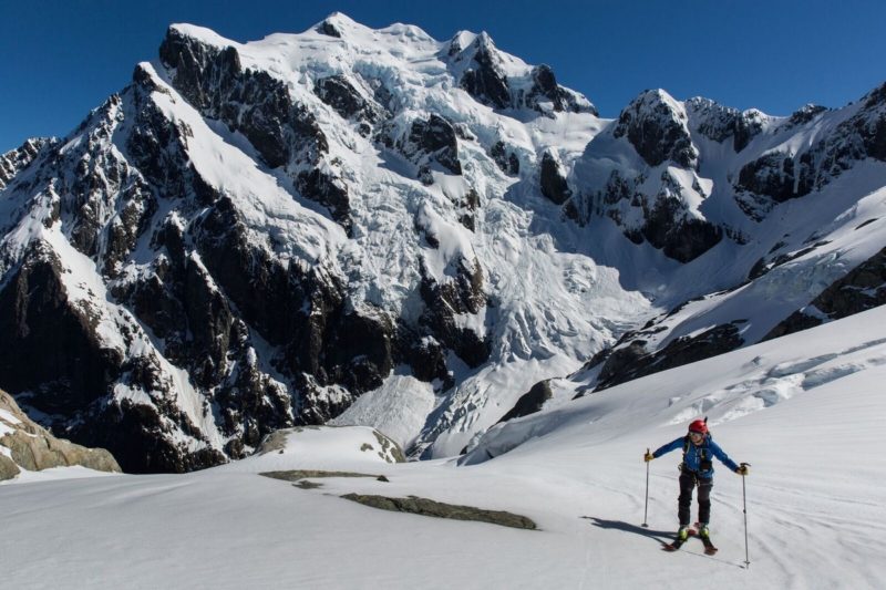
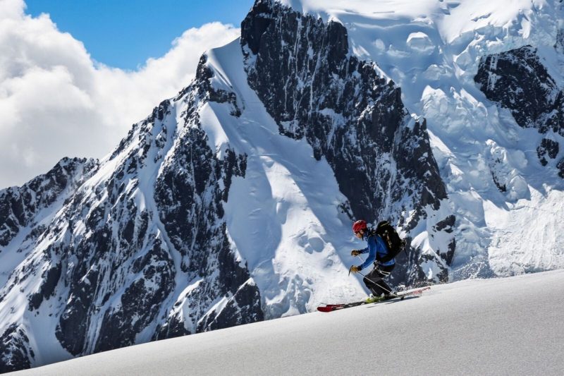
Mt Madeline sits deep in the SW of the south island, only a stone throw from Milford Sound, in Fiordland’s indomitable Darren Mountains. Spectacularly situated next to the imposing Mt Tutoko, this ski tour makes for a photographers’ dream.
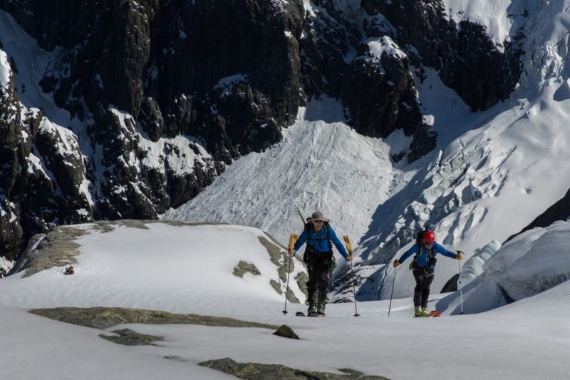
Helicopter access is pretty much the only viable option when loaded with ski gear and sleeping equipment. 1970’s hard men might not agree, and swear by walking in. And yes, tramping in with skis is do-able. But do your research on that before you try it (check out Moir’s guidebook). Or you can fly in 15 minutes from Milford Sound airport. Try Milford Helicopters +64 (03) 249 8384. Expect to pay about 150$ each way.
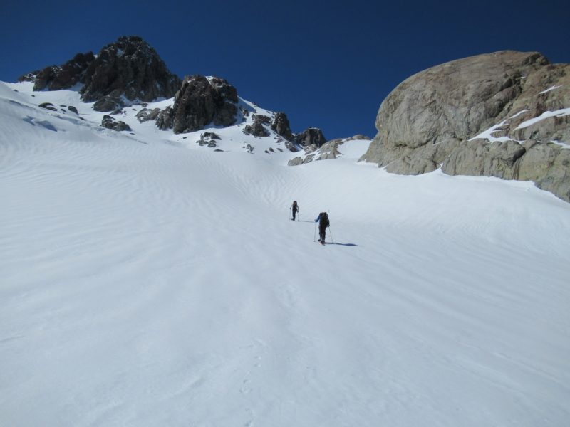
Helicopters can land near Turners Bivy through the winter months: from 1 March until 30 November. Outside of these dates no landings can be made. This is in order to preserve the solitude for trampers and climbers.
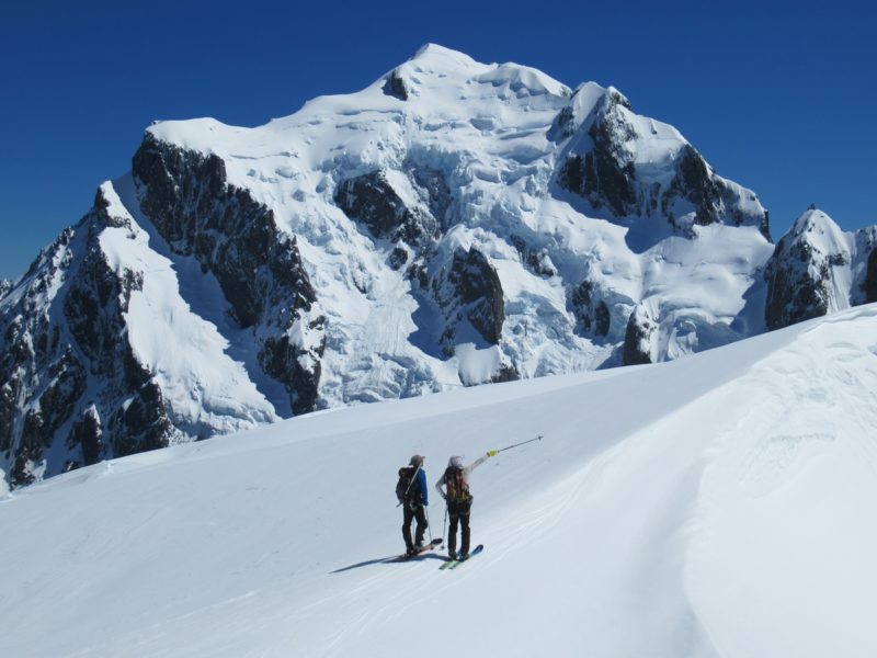
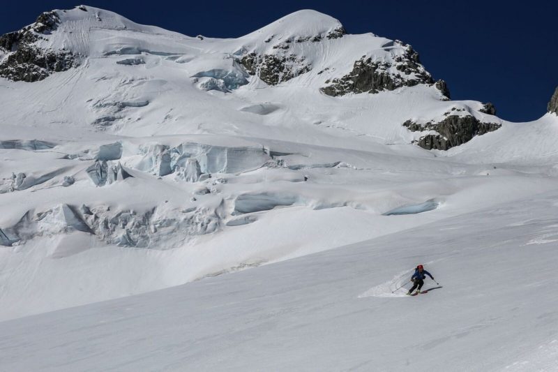
The route up Mt Madeleine is direct. The very top is often icy and may require a belay. There are some crevasses so suitable rescue equipment and knowledge is required.
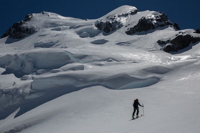
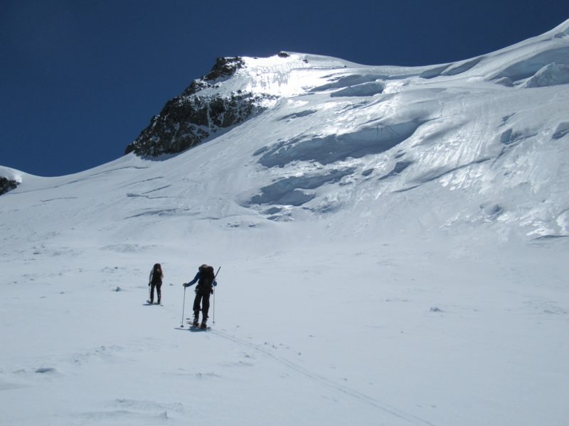
Once Mt Madeline has been skied there are a couple of options for touring. The slopes under Mt Syme offer some skiing. And there are some stunning views, such as the one down Cleft Creek into the Hollyford. Other options are to build a kicker with the stupendous Mt Tutuko in the background, and have wonderful photo shoot.
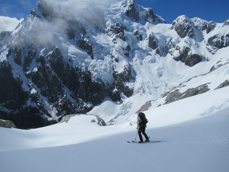
Turner’s bivy was snowed over and we couldn’t find it. The bivy is a natural shelter under a large rock, and is not a hut. So if sleeping overnight bring tent or bivy, or be prepared to dig Turner’s bivy out.
You must be logged in to post a comment.