Karl Greasley and Liv Barron
Mt Murchison.
We chose to break up the walk-in up by walking into Carrington hut on the Friday night. It took us four hours to reach Carrington hut from Klondyke corner.
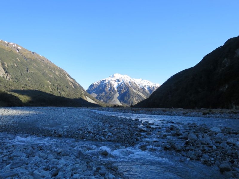
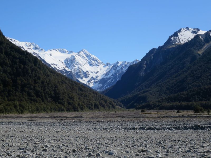
However, we did stop to check out Anti Crow hut as it was the first time we had been up the Waimakariri valley. If the memory and bruises from carrying my skis up there ever subside enough for me to do it again I would take a more direct route straight up the riverbed in a series of straight lines towards Carrington hut. Apparently this saves about half an hour. We also chose to wear lightweight trail runners up the riverbed and wore them all the way to Barker hut. I would do that again, the route up to Barker is 75% riverbed and boulder hopping and I was comfortable enough in runners, at least from the ankle down.
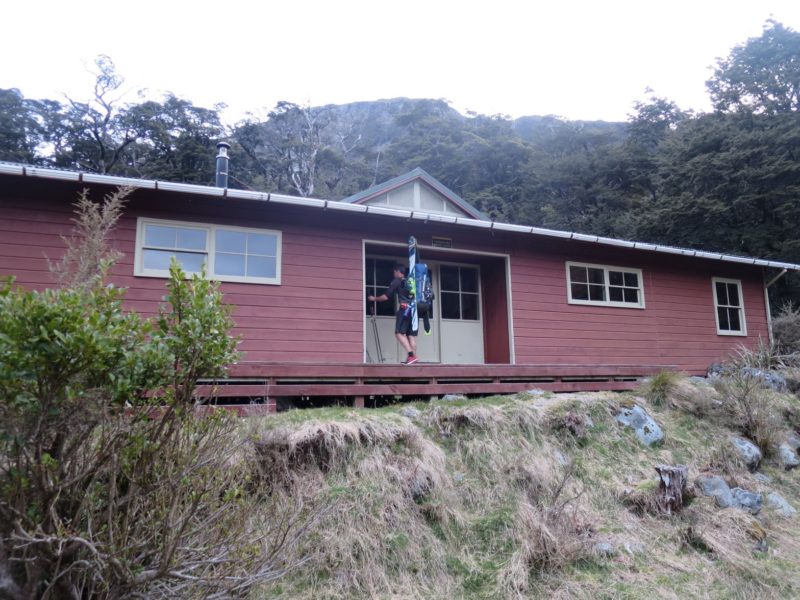
Carrington hut is a huge wooden hut sleeping 36 people and has two sides and heaps of space so arriving here late shouldn’t be a problem. I should imagine it’s pretty common for Cantabs to arrive here late Friday night after work. There is also a fire to try in vain to dry your shoes for the continuation the next day.
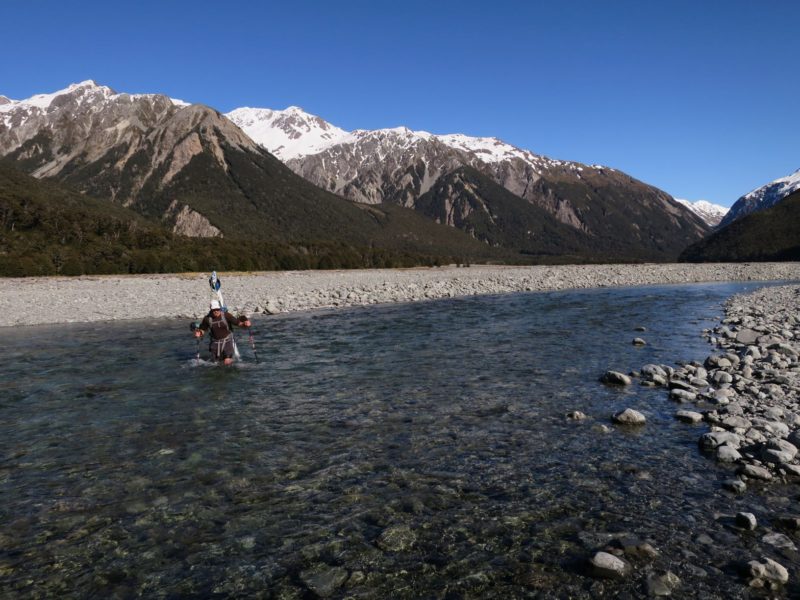
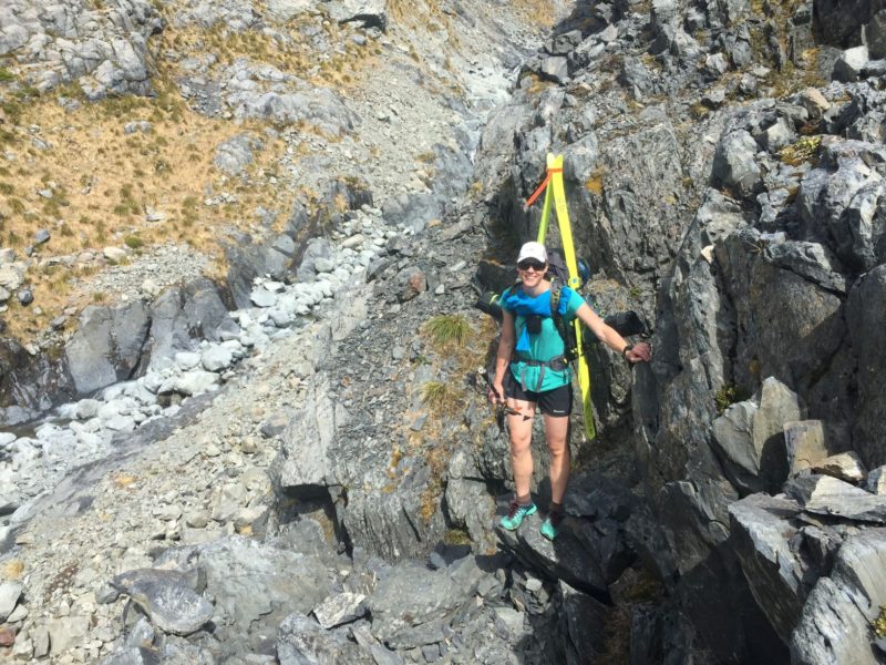
The route from Carrington to Barker hut took us five hours carrying skis and enough gear for three nights out. The route starts on a cut track with lots of low lying branches to clothes line you with your skis but its short lived until you are back boulder hopping after the Cough cable way (a working cable way to cross the river in high flow).
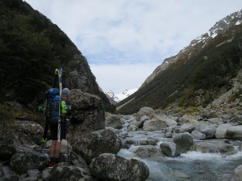
We boulder hopped all the way up the White river, with easiest travel generally being on the true left, until we arrived at Black Gorge which we passed on avalanche debris on the true left. However, this is supposedly rarely possible according to the Arthur’s Pass NZAC guide book and it is usual to diagonally rise on the true left embankment via scree and tussock. Start the rise at the large obvious four metre square boulder. Check the Arthur’s Pass guide book for a more detailed description.
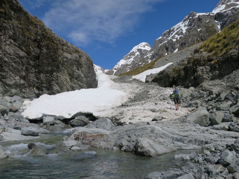
Above Black gorge you will be sidling tussock until a moraine gut than back for more boulder hopping up the White river before the last 300m climb up to Barker Hut.
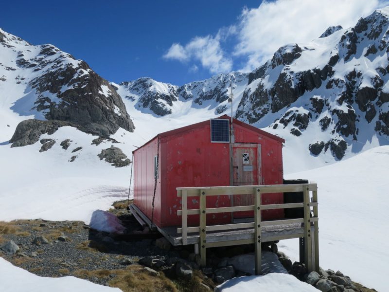
Barker hut is a beautifully positioned Canterbury Mountaineering Club hut and is $5 a night for non-members. It sleeps 10 (two single bunks and four double bunks) and I don`t think it would be uncommon to find it at capacity on a long weekend such as we did for Labour weekend. There were pots and pans left at the hut at the time we went in so you could potentially save a bit of weight there if you wanted to.
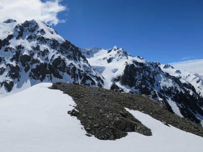
For the summit day we left the hut at 6.00am and made our way to the White glacier gaining the glacier on the true left via a ramp. The start of White glacier route is exposed to some bluffs so care is required here especially in firm conditions.
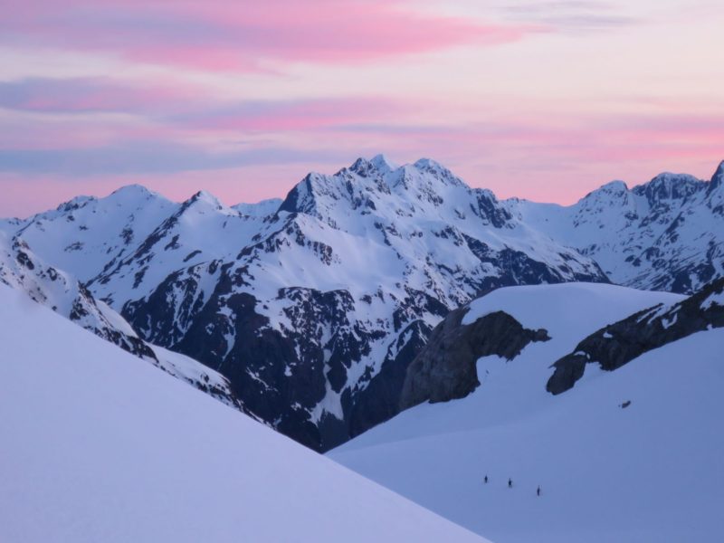
We used ski crampons the entire way up the White glacier and I was grateful to have the axe on my whippet ski pole to hand. We did carry in a short 30m rope and some crevasse rescue gear however we found the glacier to be really filled in and straight forward with supportive firm conditions so it stayed in the pack. Should I go in again I would seek up to date conditions of the glacier and potentially leave the crevasse gear and rope at home, but exercise your own judgement here.
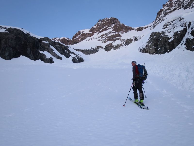
We skinned up to about 50 metres beneath Kahutea Col and ascended the last couloir with boot crampons and skis on our packs. This couloir gains the north ridge and is about 60m long and approximately 40 degrees for the most part steepening to 45 degrees for the last 10 metres or so until it reaches a notch.
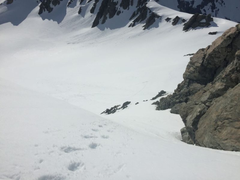
We ditched our skis at this point as the route from there in the condition we found it in was to down climb 20 metres into the Denas creek side to gain a second couloir which was about 40-45 degrees for the final 100 metres ascent.
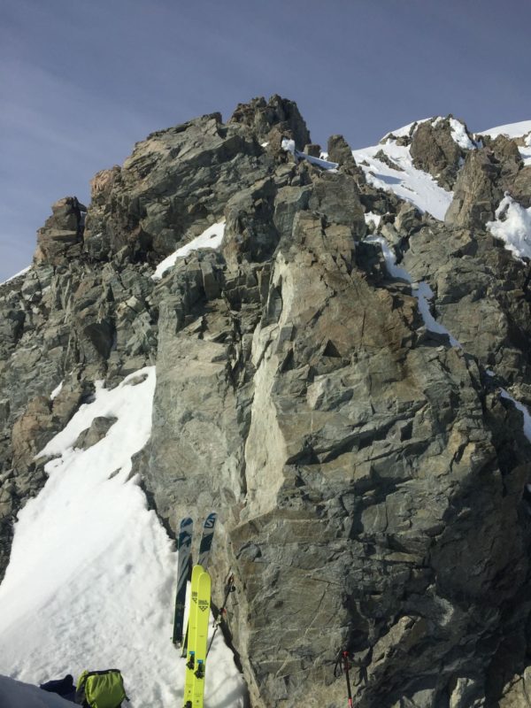
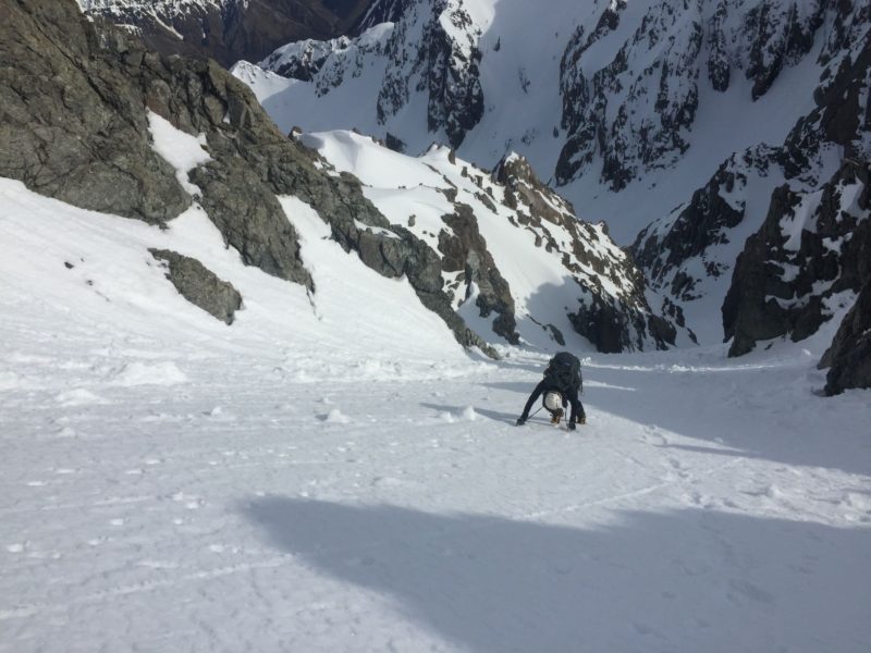
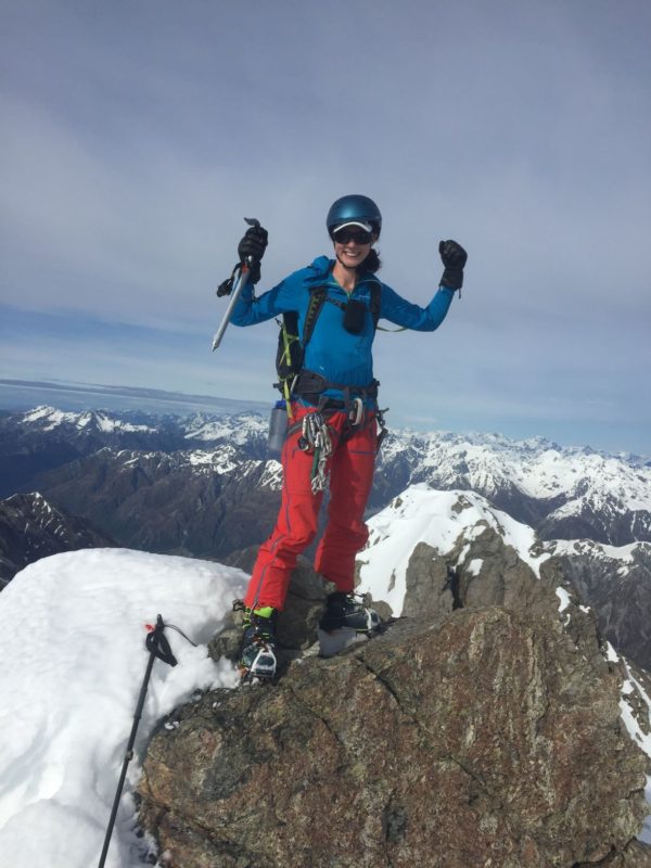
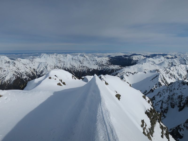
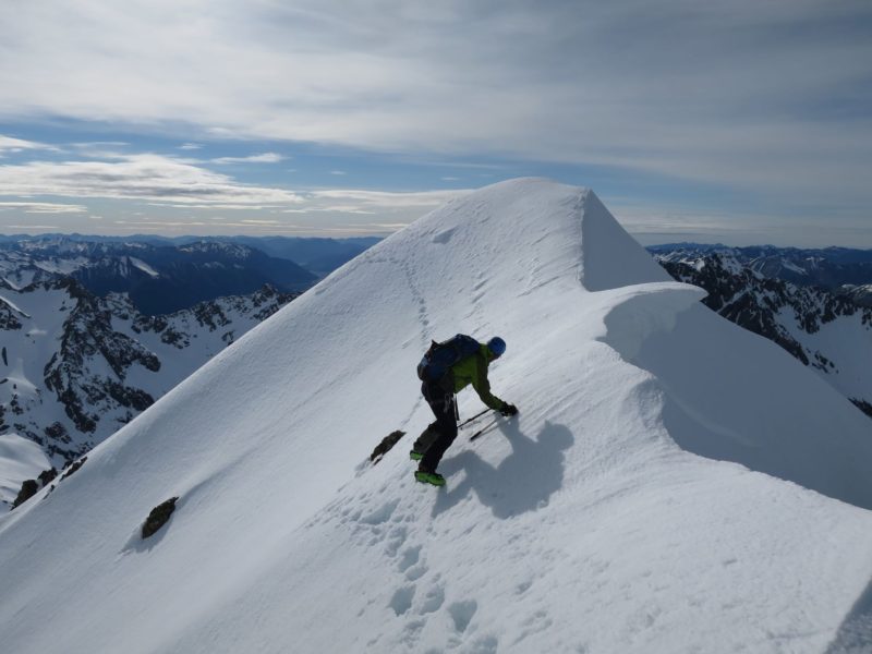
We climbed up and bagged the summit then down climbed back to our skis before skiing the first couloir from the north ridge onto the White glacier.
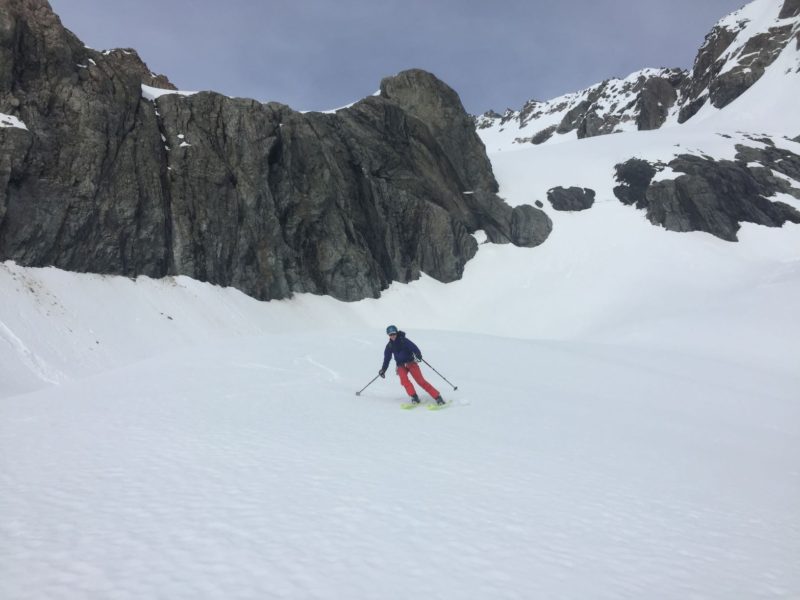
The bulk of the White glacier is a moderate angle and northeast facing so get in early to harvest the corn. We skied it at around 9.30am and had great spring conditions. We arrived back at the hut for 10.00am and started the long walk out that afternoon.
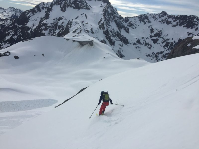
Barker hut is a fantastic venue for ski touring there are more than enough options up there to keep you busy for a few days. The walk in is a slog but there is some fantastic scenery and actually not too bad if you break it up with a night in Carrington. Next time I go in with skis I`d pack a bit smarter and stay a bit longer.
You must be logged in to post a comment.