25.7.21 Driving between lakes Pukaki and Tekapo, state highway 8 winds its way to the North, then the East, and back to the west in a meandering fashion. It is kind of annoying if you are trying to get somewhere quickly. But every now and then you will find yourself looking directly at Mt Stephenson, crouching alone at the southern end of the Gammack Range.
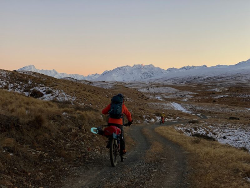
There is a little known road, parallel to the the main state highway, known as the Braemar Road. It is dusty and rutted in summer, and in winter is often covered in a dusting of snow. This is good, as it helps slow down the logging crews racing between work and home (pub).
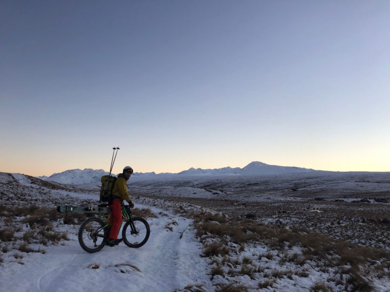
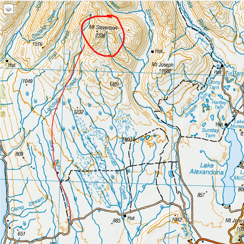
The Braemar Landslip easement heads off perpendicularly to the north of Mt Cox, sidling along the NZ Army Munitions training grounds. There are numerous posted signs reminding us to keep out. No problems there.
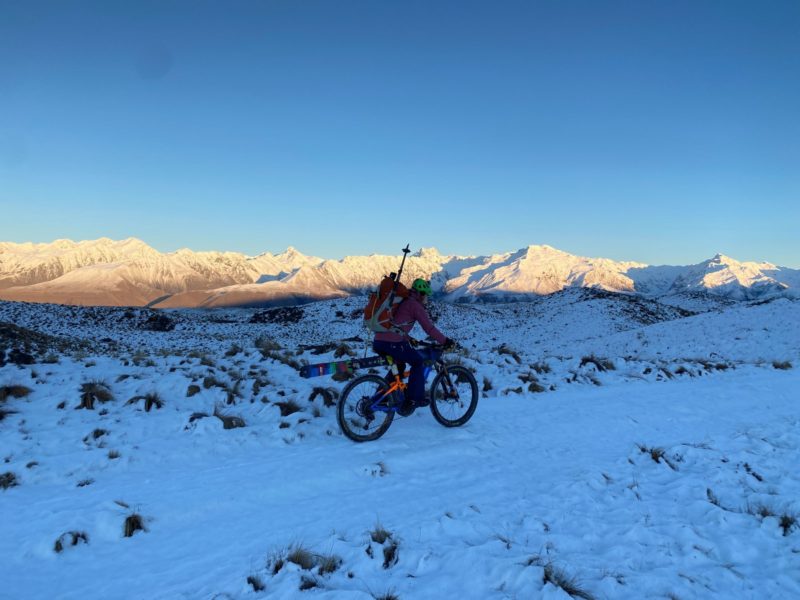
The easement is a 4wd track but is closed to motorised transport, and so we used ebikes for access. There was plenty of snow on the ground from about the 900m mark. E bikes work really well in the snow. That is until it is about 10cm deep, when the effort required to keep moving uses up more battery power than its worth. If there is no snow on the road a regular push bike will do just fine.
We had tried this ski tour up Mt Stephenson a year earlier. A later start at 9.30am had meant we were too far behind schedule. However it did make for a good recce. The snowline was also somewhat higher which made for different route selection, and also allowed some team members to bike in using push bikes, rather than ebikes. It had also given us the chance to figure out how to carry skis on bikes. The best way we found to be was to strap them along the cross bar, using old towels as padding.
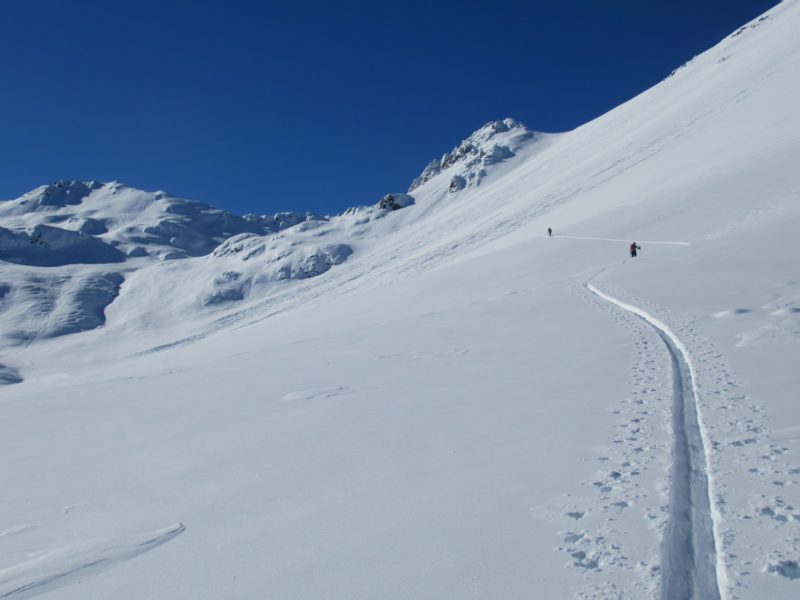
This trip we camped at the trail head in the layby next to the road. It was a particularly frigid night. The skies were clear and the moon was full and bright, the puddles were solid ice and the cold permeated our gas camp stoves so that they wouldn’t work properly. We struggled to get a decent cup of hot water, and so warmed ourselves up by biking. 7.30am and we were on the trail.
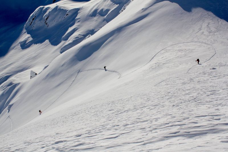
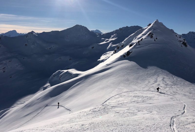
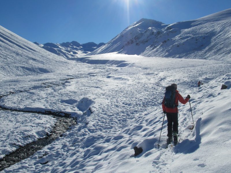
An hour and a half of biking (and some skidding) in the snow and ice brought us to the 1000m mark. We transitioned to skis and set off on a firm crust up towards Braemar Dome. Cutting slightly to the west we sidled rocky slopes into Landslip Creek, and thus began a picturesque but arduous journey up valley. Powder snow is great for ski descents, but can be quite a drag when heading uphill. We took turns punching a trail through 20, then 30 cm powder.
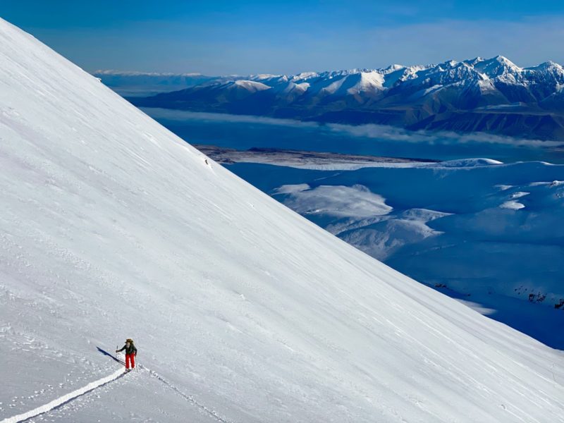
Fortunately we were full of enthusiasm, and so kept a steady pace, swapping leads, moving slowly but inexorably uphill.
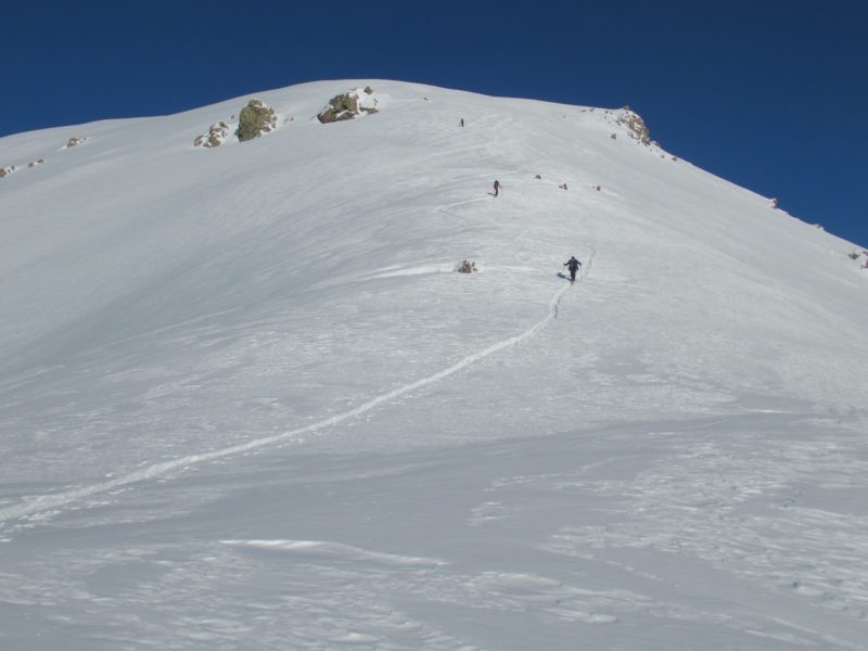
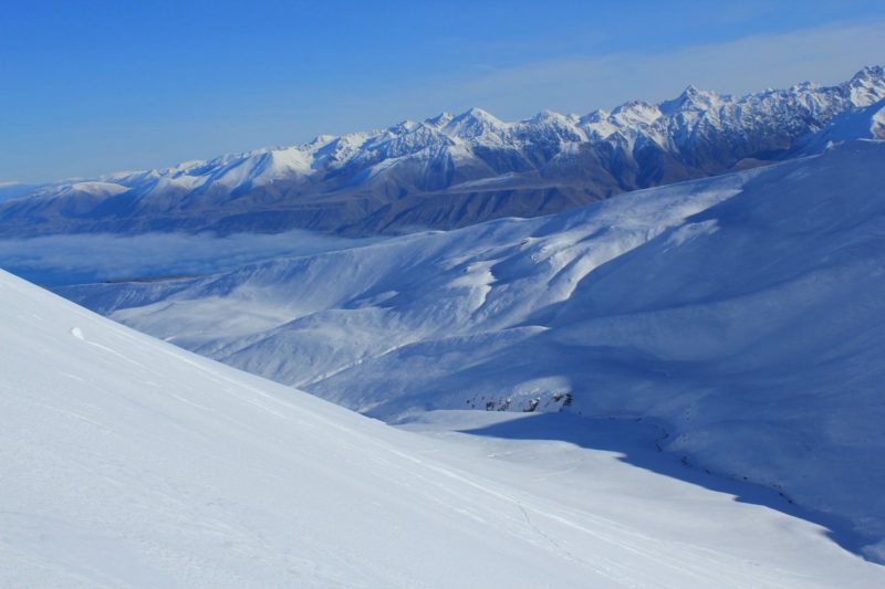
The head of Landslip creek is a multi featured basin with many bulges and short ski lines. The steep north western slopes of Mt Stephenson are rocky and catch the solar rays. Long, deep avalanche paths flow down into the valley floor.
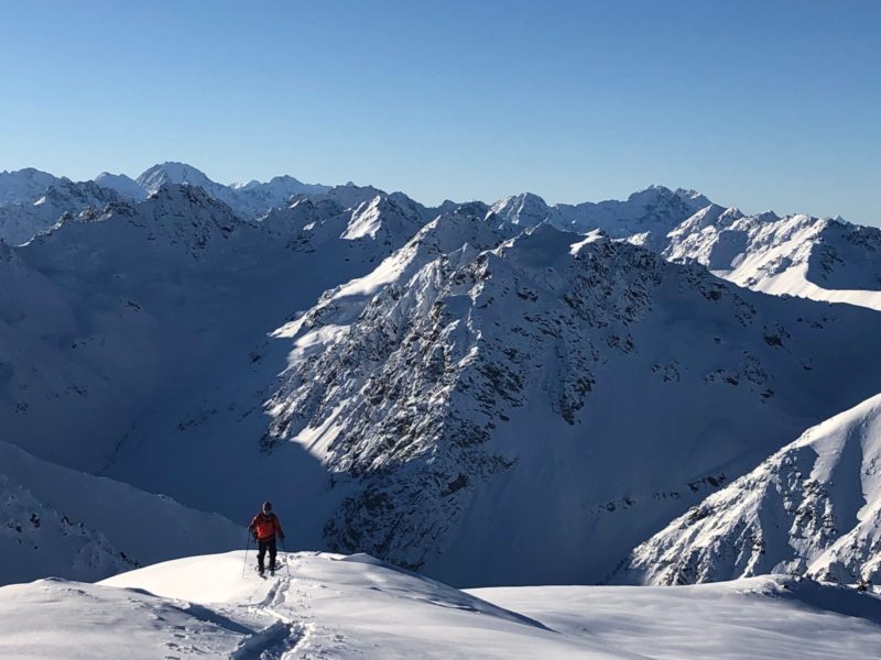
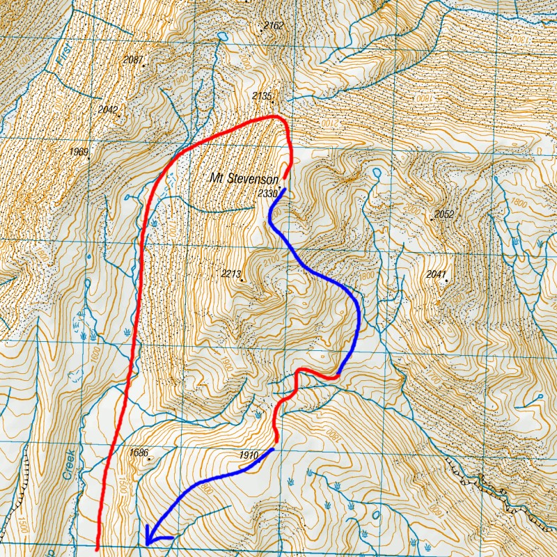
400mof steep skinning took us up the the saddle, just south of point 2135, and and at the base of the North shoulder of Mt Stephenson. It was relieving for the aching muscles to see that the final section to the summit was straight forward. And at 4.30 in the afternoon we topped out at the summit. We watched the lengthening shadows casting over both lakes Pukaki and Tekapo, whilst having a frozen snack and drink from emptied water bottles
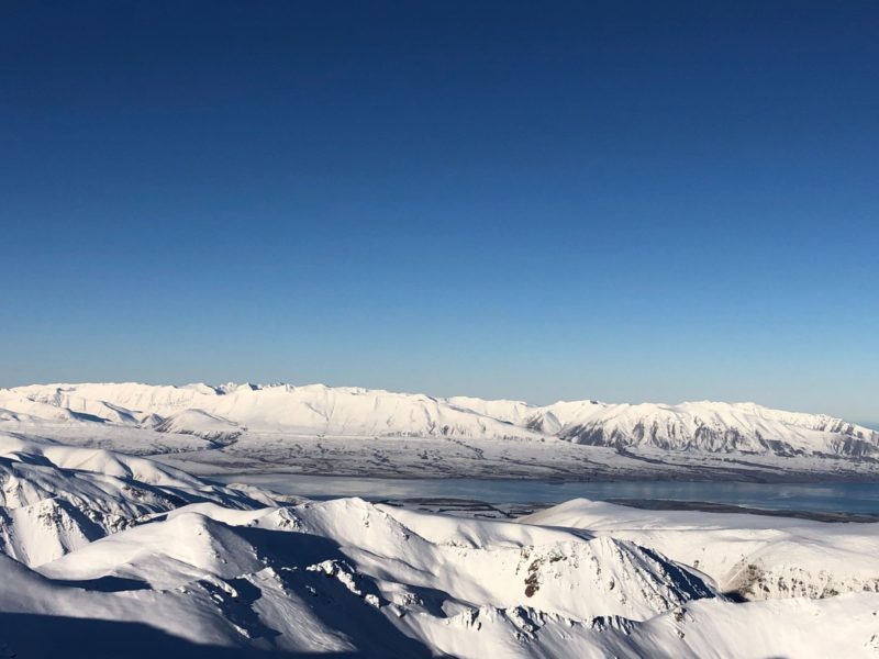
Cold hands meant we didn’t sit around for long. A quick transition from skinning mode to downhill and we were off skiing down the last of the sunlit ridge to the south. A quick left hand turn and we sloughed through deep powder in the eastern bowls. The snow was deep, and although it was crisp and cold, it offered quite a bit of resistance. Leaning back a little it was possible to surf our way down slope after slope, around corners, short traverses followed by long powdery run after run.
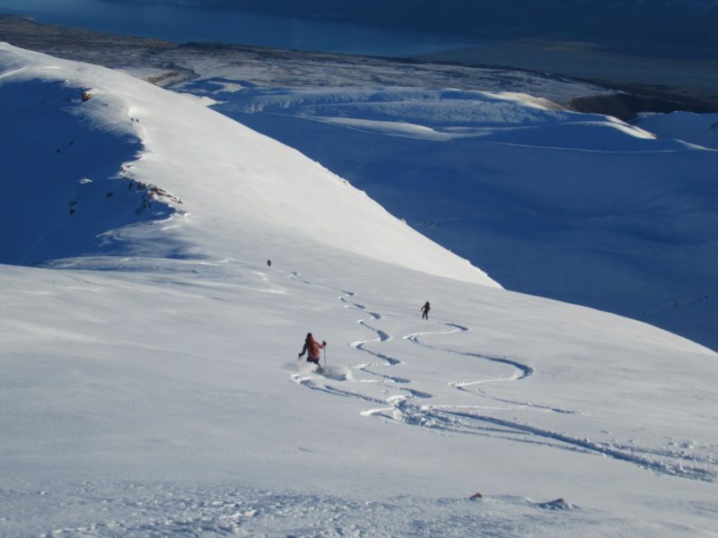
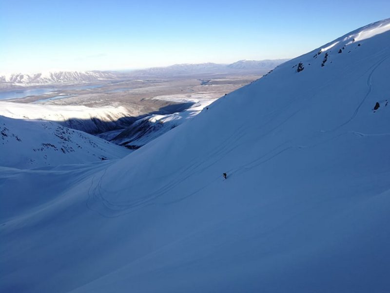
Reaching the end of our downhill ski at 1700m, we had to transition back to skins and tour back up the saddle between pt 1910 and 2213 to the north. From our previous recce we knew that the best route out and home was via pk 1910. And so with tired legs and dehydrated lungs we zig-zagged and kick turned our way uphill, arriving on the rounded summit at 6.30pm.

A beautiful full moon reflected over Lake Pukaki, and we enjoyed snapping multiple photos of each other in the twilight.

The ski descent from pk 1910 was sublime; turning and arcing in soft powder in the moonlight. 400m of pure delight
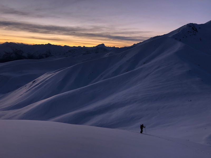
We decided to exit via the old medial moraine as the snow was so deep we didn’t feel the valley would offer enough glide. By the time we got to Braemar Hill the snow had a solid crust and we were able to keep on top, and hence hold our speed back to the bikes. 14 hours after setting out we were back at the car.

To check conditions on Mt Stephenson check the AOPA webcam on Mt St John looking WEST. The west view looks directly at Mt Stephenson. The avalancche forecast is for the Mt Cook Region.
The Metservice forecast pertaining to this area is the Canterbury High Country

In terms of weather, the Southern Gammacks get a lot of snow from an easterly, especially if there is a good SE flow. Mt Stephenson sits out on its own at the southern end of the Gammack range and can get absolutely hammered by the wind. There isn’t much point in going there after a strong Southerly gale (or SW for that matter). It will pick up snow at higher elevations from a westerly or NW front, given it hasn’t come down from the tropics.
You must be logged in to post a comment.