This tour was recently described as the ‘King of ski tours from Mt Cook’ . A classic day ski trip in Mount Cook National Park. The views are spectacular and the skiing superb. Its a long tour with route finding needed and also some tramping, so superior fitness is required.
An earlish start is required to give yourself plenty of time, as the route takes around 10 hours to complete.
The first hour and a half is on an interminable stair case built by someone with a longer stride than mine. Apparently there are 1367 stairs. Take lightweight tramping/hiking shoes for this (you will also need them for the exit. They need good grip). It is over an hour of exhaustion to the top of the stairs. The snow line is often around the height of the Sealy Tarns (approx 1200-1300m mark). There is usually a skin trail from here, and it is popular for tourers to ski laps on these sunny slopes. The route is straight forward to Mueller hut, but beware of frozen patches and slide for life conditions early or late in the day. Allow about 2- 3 hours to Mueller Hut from Mount Cook Village (MCV), depending on how you do on the steps. Mueller Hut has water and cookers, but no pots.
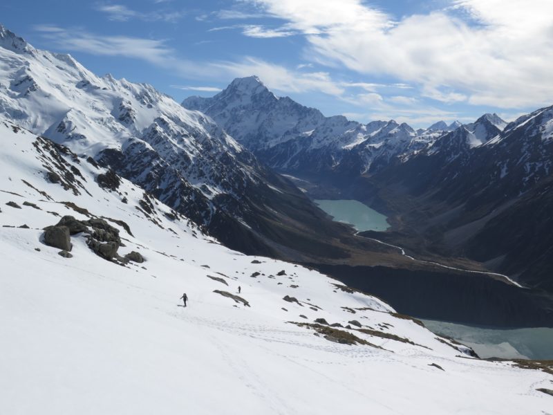
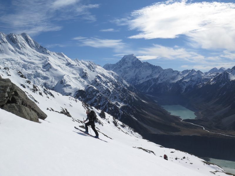
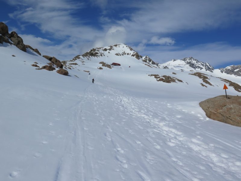
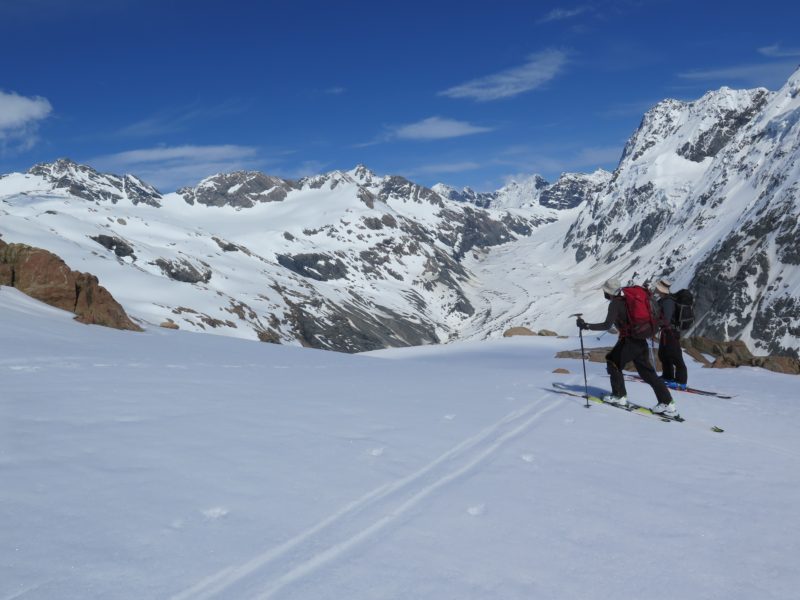
From Mueller Hut head south on the slopes facing the Mueller Glacier . We found it necessary to transition and make short ski descents under both Mts Oliver and Kitchener. It might well be possible to avoid the transitions by keeping lower.
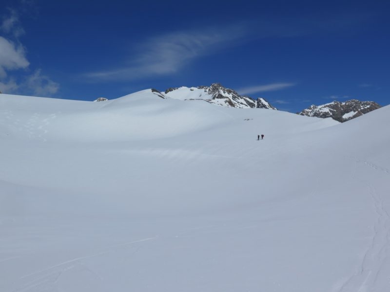
The slope angle is easy, but a word of caution; if the snow is frozen, an uncontrolled slide could have dire consequences. The benches leading up to the Annette Plateau are exposed as they drop over cliffs onto the Mueller Glacier. With the terrain being relatively low angle it is too easy to become complacent. Allow 2 hours from Mueller Hut to Annette Plateau.
You will need a topomap and or compass and GPS to make sure you find the correct entrance to Sawyers Stream. It is not completely obvious from Annette Plateau, but having said that, with a map and good visibility it can be figured out expeditiously.
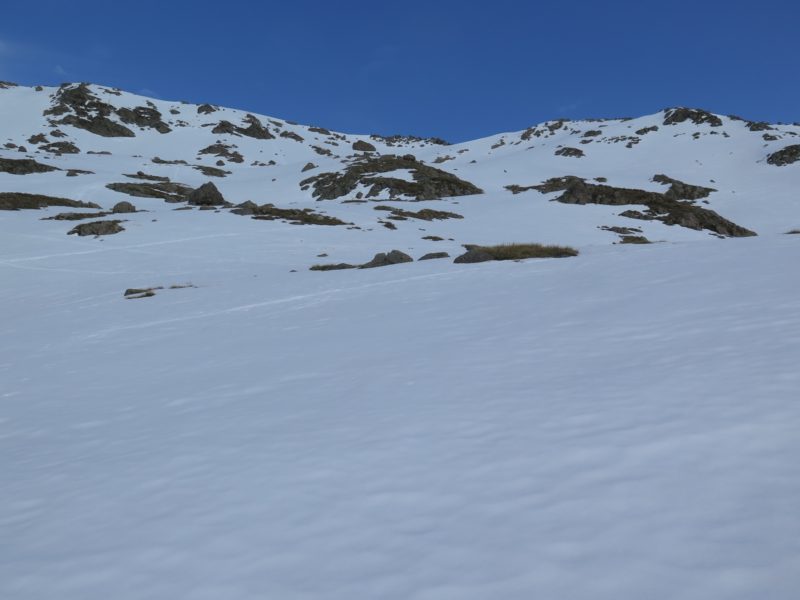
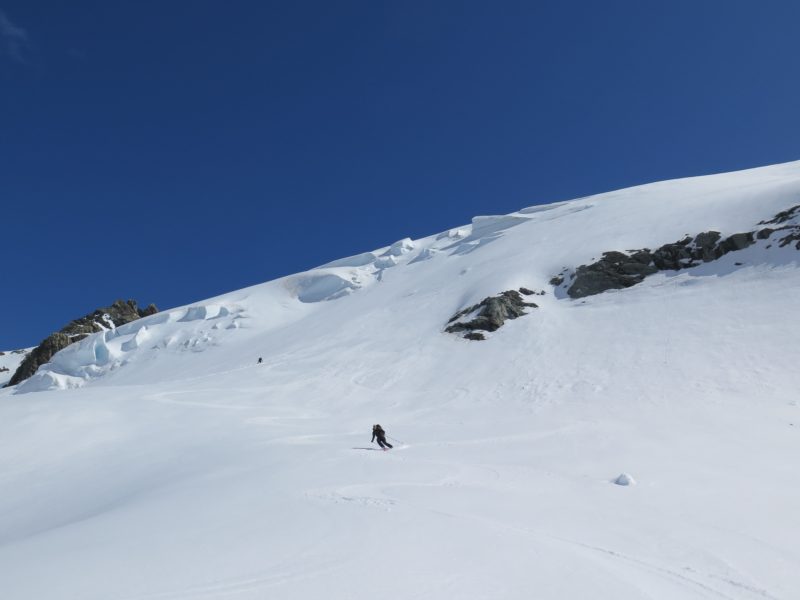
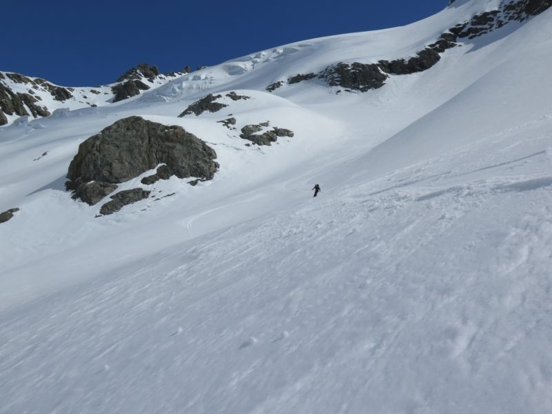
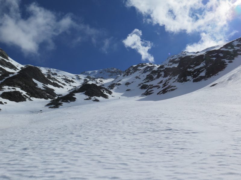
Once the top of Sawyers Stream has been found it is still not obvious how to enter/start the ski descent as the slope rolls/bulges over. There is a broken crevassed area to the centre, which could be negotiated but also could prove problematic. A good descent option is to the skiers right with straight forward access. Another option is to the skiers left which is steep (35-40 degrees) and holds great corn snow. But beware there is a cliff band near the bottom which must be passed on skiers right, cutting back towards the bottom of the central ice bulge. This is a little trickier entrance but the skiing is superb.
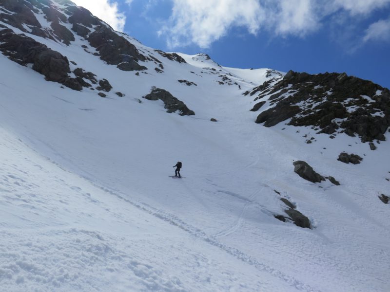
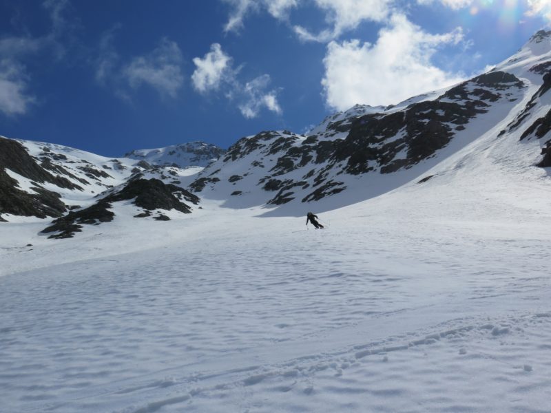
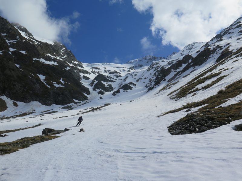
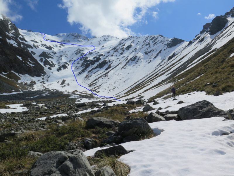
Once the entrance has been made, there are multiple gullies, faces, couloirs and possibilities to ski. Most of the descent routes ‘go’, but a few might be dead ends. So best to scope the route from the road or photos before setting out.
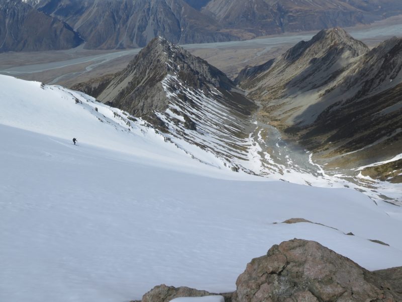
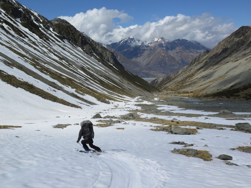
The skiing is continuous fall line with an average slope > 30 degrees, and is around 1100m vertical. Obviously this route is conditions dependent. It holds beautiful, velvety corn snow in spring (September), and would be spectacular in powder. But in hard crust or icy conditions it could be ones’ nemesis.
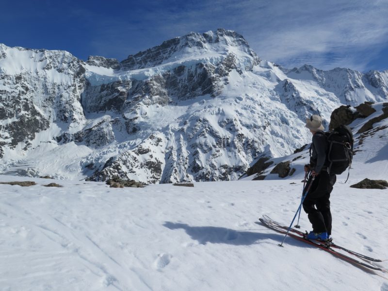
At the end of the snow, take the ski boots off, take a break and look up at the magnificent headwall you just skied. Have good rest before starting the tramp out of the valley. Follow incipient animal trails on the true right, about 20-40 vertical metres above the stream bed. Good lightweight hiking shoes are more than recommended.
It is not possible to descend the stream entirely, and an exit from Sawyers Stream must be made before it turns into a canyon (See the guidebook Canyoning in New Zealand by Daniel Clearwater, Sawyers Stream v4A3II**).
There are 3 options for exiting Sawyers Stream:
A)True right.
The canyoning teams use this route access the canyon via steep tussock slopes with some exposure. Its the quickest way to the valley floor and is good if you are heading back to the airport.
B)True Left.
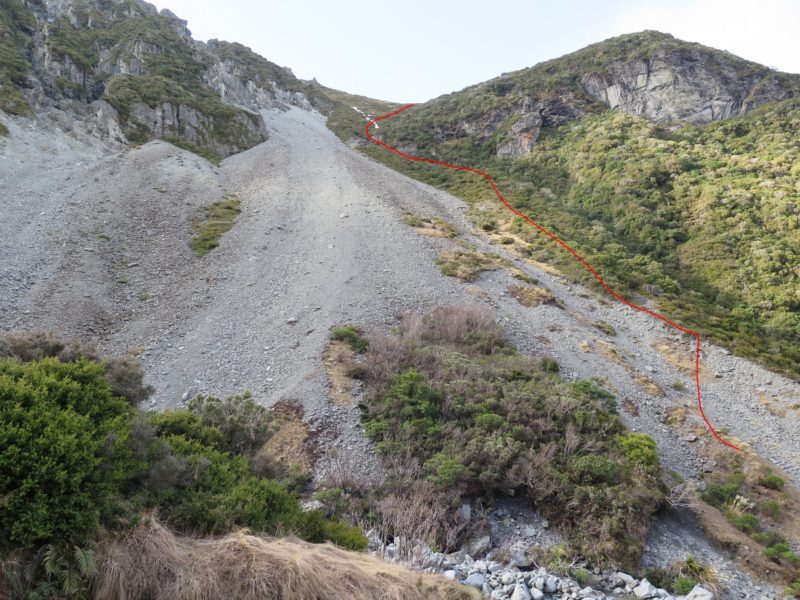
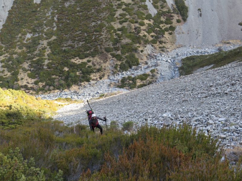
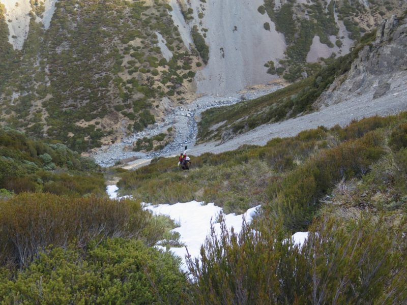
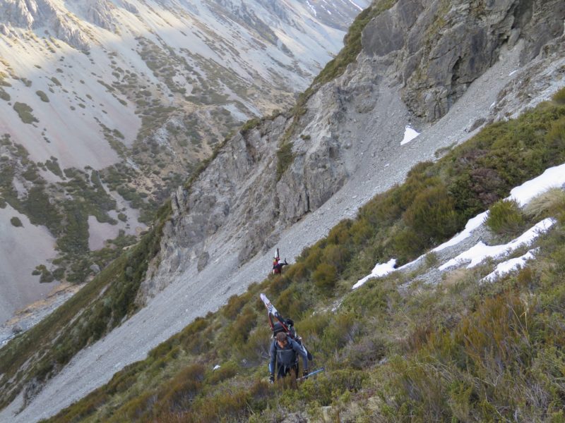
This route goes directly to MCV via Sebastopol tarns and track. The exit point is shown on the map and accompanying photos. Looking up at the route, ascend just to the right of the scree slope. The vegetation is surprisingly sparse and the going is easier than it looks. It took us 20 minutes to exit from the stream bed. From the saddle follow tussock benches along to the Sebastopol track. Allow 2 hours from taking skis off to arriving at MCV.
C) Via the Hoophorn Valley. See the post Barron Saddle Hut; Mt Bannie and High Traverse to Sawyer and Hoophorn, Sealy Range, Mt Cook
Further notes:
*I recommend carrying an ice axe, crampons and a larger pack to fit all the stuff in.
*Allow 6 hours from MCV to the top of Sawyers Stream/ Annette Plateau.
*Another exit from Sawyers Stream is via the Hoophorn Stream. I have not researched this.
*Another option is to fly into Barron Saddle, then ski down the Mueller Glacier to ascend back up to Annette Plateau.
You must be logged in to post a comment.