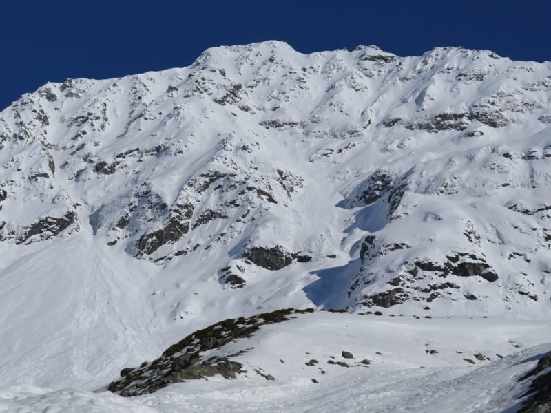
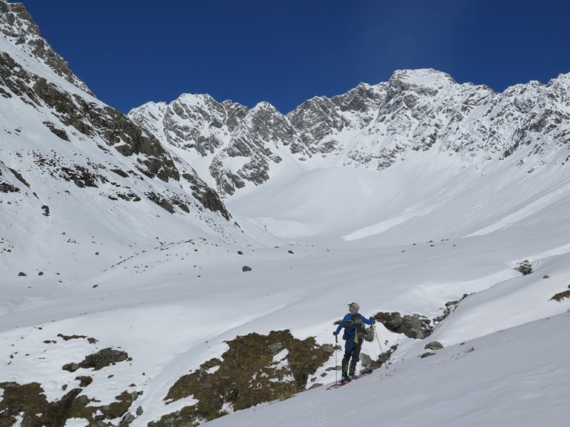
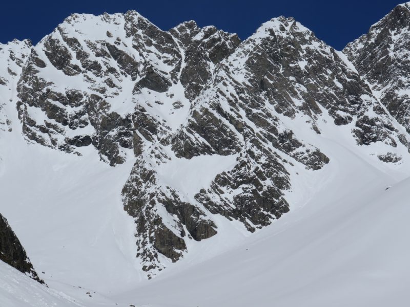
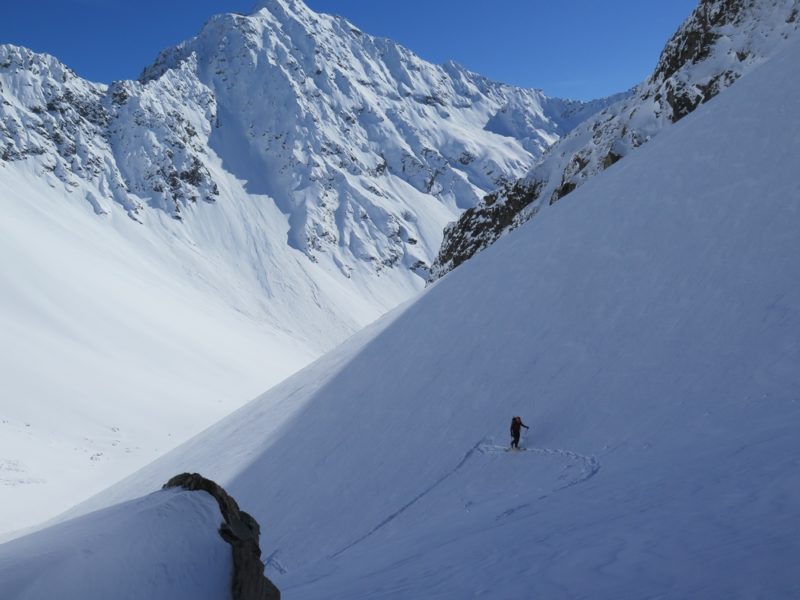
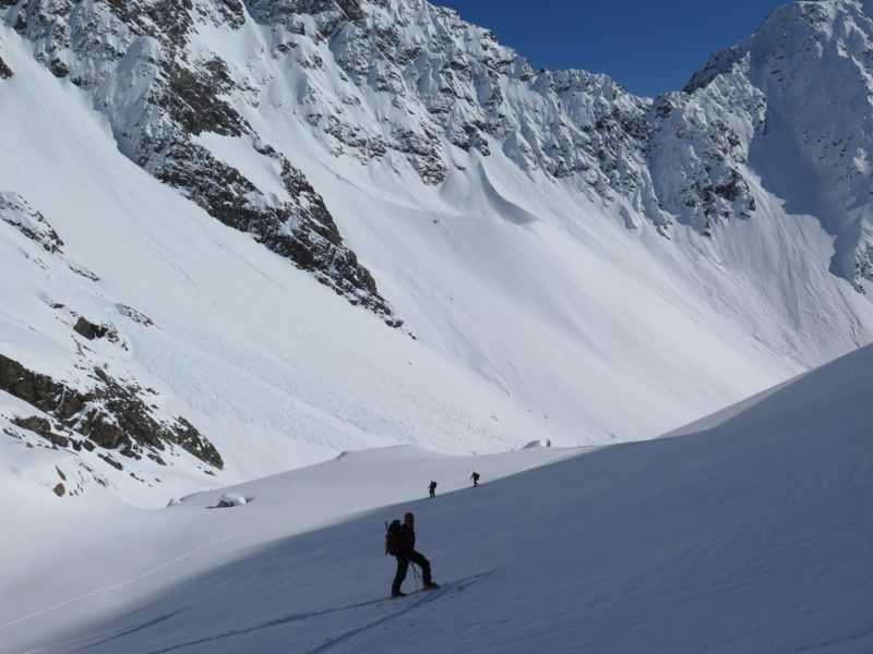
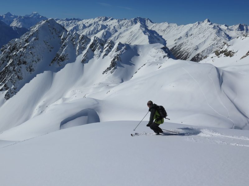
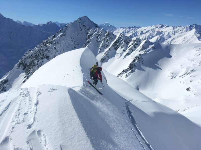
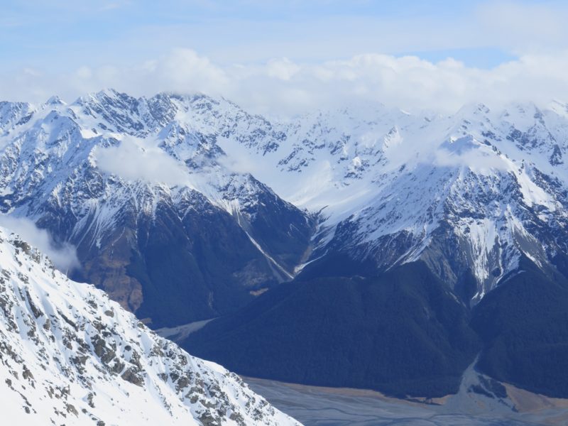
Sutherland Stream is a truly stunning and spectacular valley. Hemmed in by steep walls there are couloirs galore for ski mountaineers, and a relatively safe route up to the Mt Ben Ross col for ski tourers. There are superb views of the east face of Mts Glenmary and Glencairn, and views of Mt Cook from at the col 2302.
View Larger Topographic Map
Access is via the Dobson Valley at the head of Lake Ohau. The access road, Station Hut and the valley are private property. All the western side of the Ben Ohau Range as well as the entire alpine section of the Neumann Range (including Mts Glenmary, Ben Ross, Glencairn) are private property and owned by Glen Lyon Station. This means that access is strictly by permission only. Permission must be obtained before proceeding from Lake Ohau. Please do not rock up and ask to go ski touring. Glen Lyon Station manages many hunting blocks in the valley so please recognise that access may be denied for this reason. Glen Lyon Station: PO Box11 Twizel (03)438 9644. Best to call after the news at 7pm.
The access road from the Homestead to Station Hut is an easy grade and straightforward. The last 4 kilometres gets rugged. In order to drive to the hut a 4WD is required with good ground clearance, off road tyres and a low range gearbox. A diff lock is preferable but a LSD might make it depending on the conditions. The Station hutbook has many stories of folks coming a cropper. Mountain biking might be a good way to cover the last 4 ks. Station Hut is well situated, clean, has a fireplace and bunks for 10.
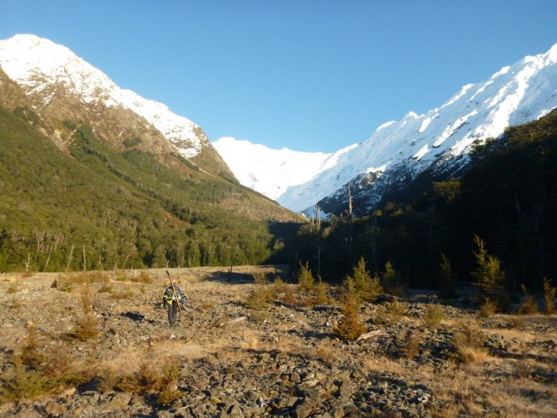
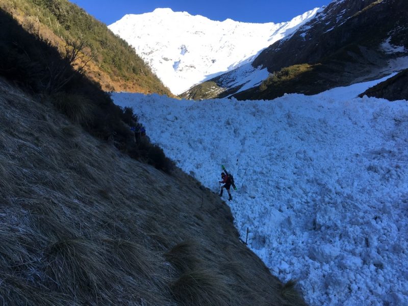
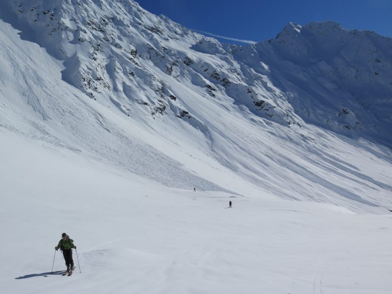
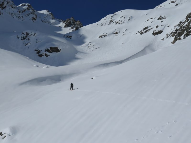
The Dobson in normal flows in winter is an easy cross with water below knee deep, and has much less flow than its cousin, the Hopkins river. Sutherland stream is relatively easy going, open, with fine gravels turning to small bouldery stream bed as the valley ascends. There are grassy banks on the TR which help with travel higher up. The Sutherland was choked by several very large avalanche flows from a previous storm cycle. They were maybe up to 20m deep. Allow 2 hours of easyish travel from the hut to the snowline which should be about 1200m.
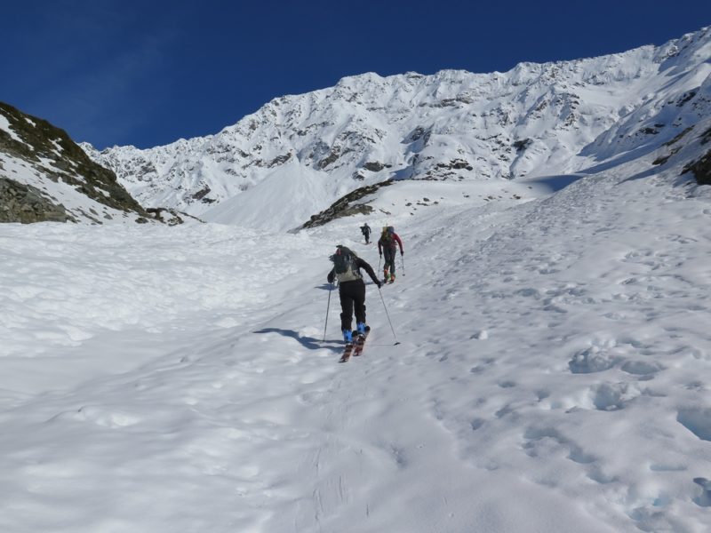
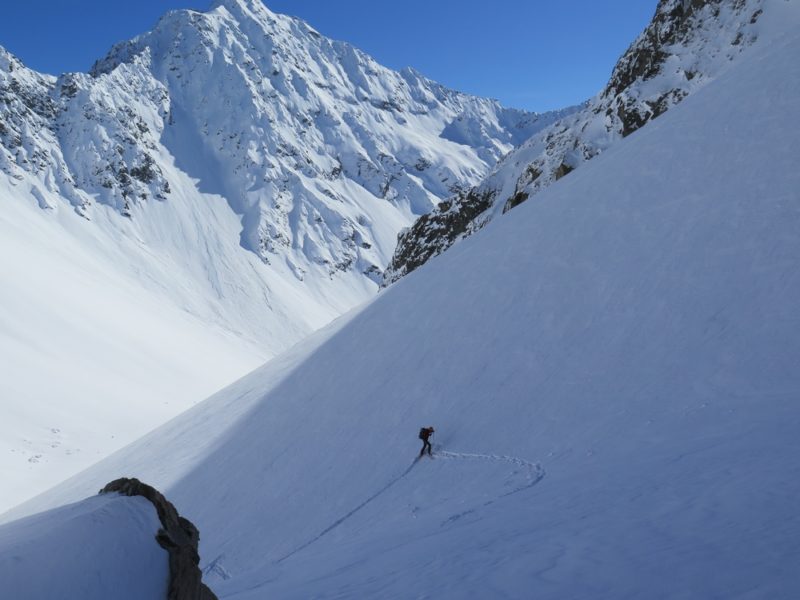
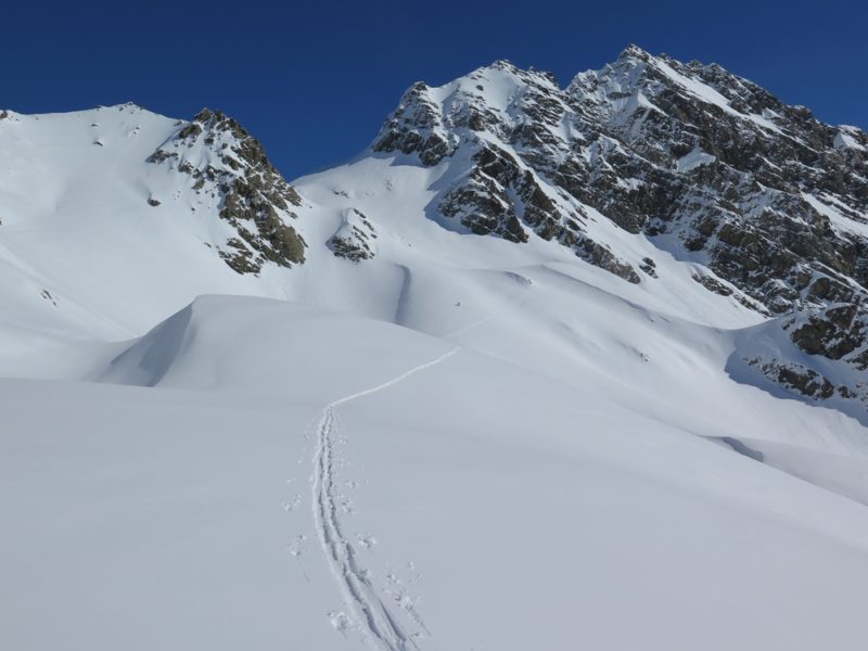
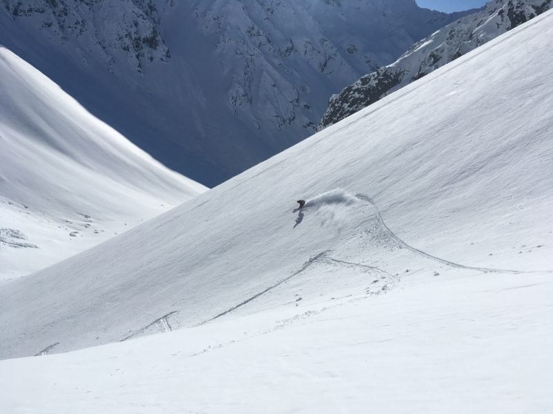
We took a line up the valley that offered relatively safe travel up the valley, past the frozen tarns at 1900m, and on to the Col at 2302m. This took around 3 hours from putting the skins on. From here we skied back down our ascent line, however there are many many more options to ski. Take your pick.
Another possible option that I have not done, might be to carry on from the col at Ben Ross, past pt 2362 and ski down the Jamieson Valley. I have been told it holds good snow as it faces south. This would make a wonderful (and long) loop route back to the hut. I might have to go back and do this..
I would not recommend heading down to the west into the Hopkins Valley towards Red Hut. The terrain is hard going with dense bush and bluffs (but the Red Hut Stream is good for canyoning ..)
You must be logged in to post a comment.