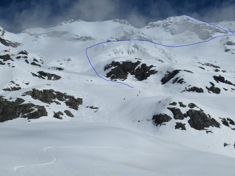
At the end of the Cass Valley looms Mt Hutton. There are 2 ski routes on the peak, both are accessible from Memorial Hut, and both are ski mountaineering routes as they require some mountaineering skills. Other routes listed here on the website that are accessible from Memorial Hut are: The Scorpion loop, Liebig Range loop, Mt Hutton via the Faraday Glacier, and this, Mt Hutton via the Huxley Glacier. Also in the Cass Valley is Falcon’s Nest Hut and The Needles. For Glenmore Station access and hut bookings in the Cass valley read here.
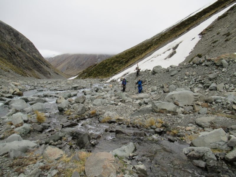
Access. From Memorial hut it is possible to drive approximately a kilometer up the true left of the Cass River. The rough track then heads up grassy benches. Take to the river bed and an extra half kilometer or so of bumpy 4wd travel can be gleaned.
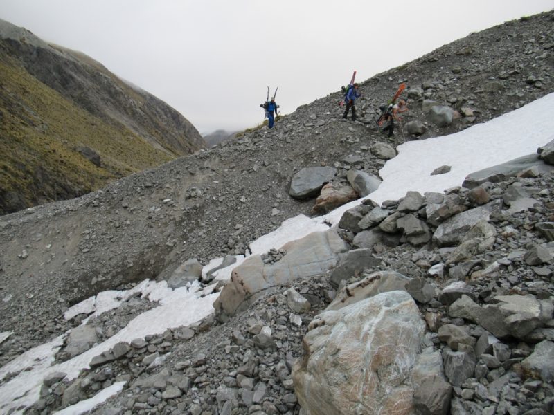
The route to the Huxley Glacier takes the East branch of the upper Cass River, and generally stays on the true right of the stream, boulder hopping in the stream bed. Expect to take around 2 hours to reach the snowline.
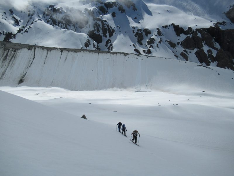
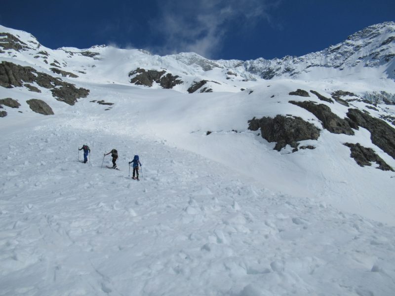
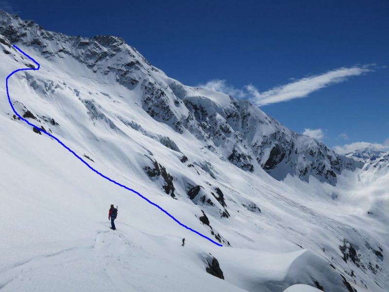
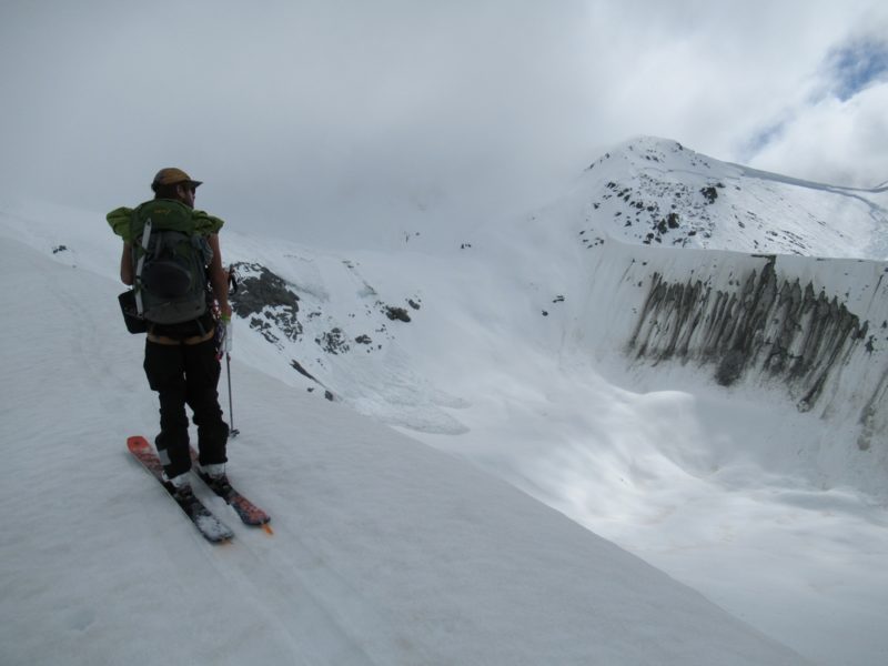
The natural inclination to proceed is to skin up between the 2 medial moraines, past the wee tarns, and up towards the headwall. However this direction is threatened by ice cliffs which are on the NE ridge of Hutton, and so the safest route is to ascend earlier and contour around on to the Huxley Glacier. (See map).
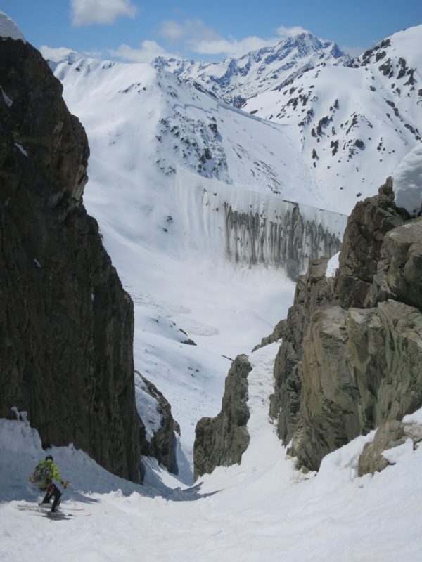
The final couloir leading to the summit is around 40-45 degrees.
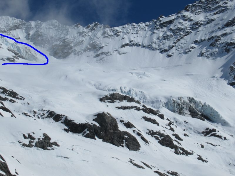
Note that there are multiple objective hazards on this route and so very stable conditions are required.
Photos are from October 2017.
You must be logged in to post a comment.