The Third Waterfall Stream must surely have been named by a surveyor; a logical but a little unimaginative name for what is actually a wonderful valley . This is a stunningly beautiful spot overlooking the Macauley River.
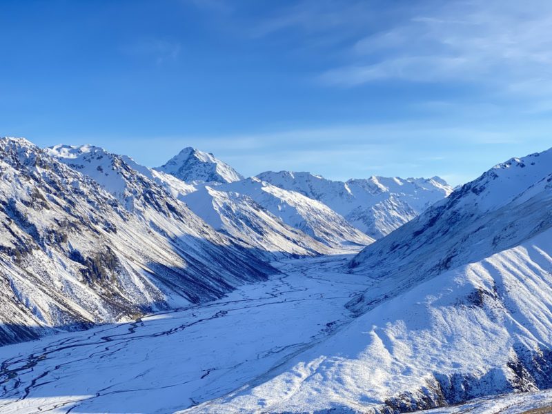
The Two Thumb range sits far enough to the east of the main divide to get quite dry powder at times. The terrain is easy to negotiate, undulating, interesting and expansive enough to spend many a day tracking out.
We spent the night in Tekapo, then drove pre-dawn, yawning, out to the end of the road at the Macauley River crossing. We locked the hubs, put the Landcrusher into low 4, and pushed our way across the Macauley river. It is a river not to underestimate. There has been many a sad drowning of vehicles in this river, and water levels fluctuate greatly during the day. I once did a SAR course on river crossings with vehicles. The instruction given was that best way to cross is in low range, second gear, as it gets the bow wave in front of the truck at the optimal level. There is a little information on the route with DoC here.
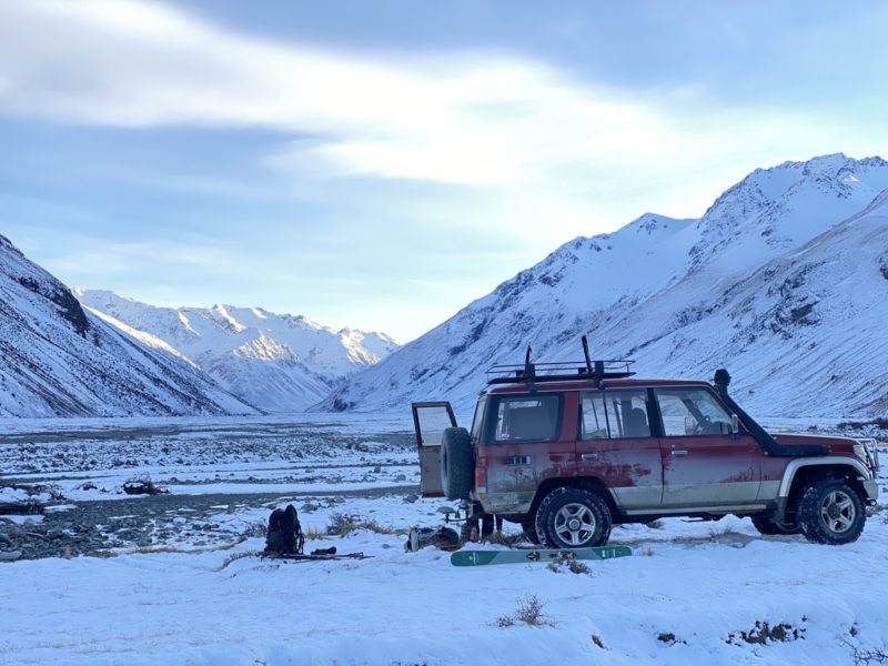
You will need a four wheel drive vehicle to access the Third Waterfall, or you might try ebiking in..
Check the weather before you head in. There is a webcam on Mt St John (AOPA – see here) or have a look on the Roundhill snow report and webcam here or, the Mt Dobson snow report and webcam here
The Macauley gets snow from the westerly fronts and can catch a bit from the SW. The big falls are often early in the season and out of the east. A weather map for a big snow fall might look like this:

Here there is enough of a south easterly component for good snow falls.
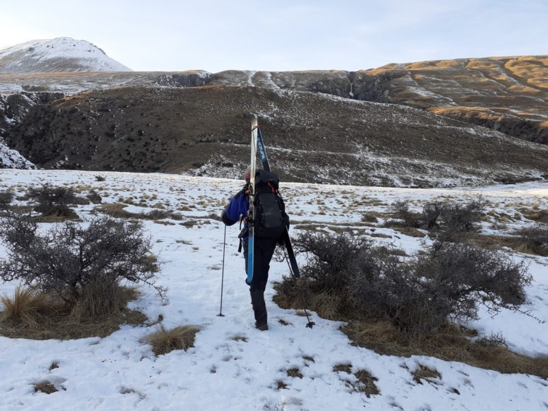
It takes around an hour to get up the initial steeper section from the valley floor until the snowline at about 1300m. Its really easy travel in short tussock with the occasional spaniard to contend with. A friend once told me that is her favourite part..
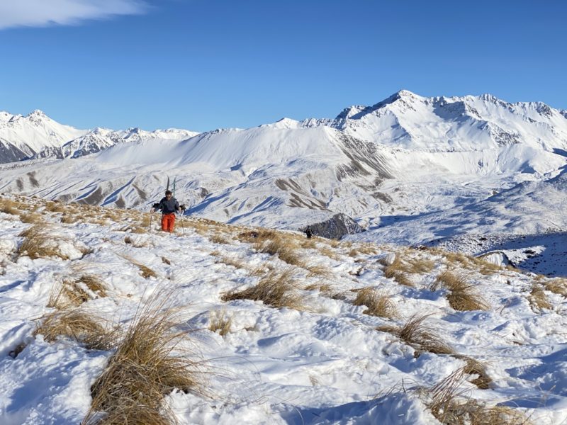
The ski touring is straight forward and technically quite easy. This makes for a good intermediate route.
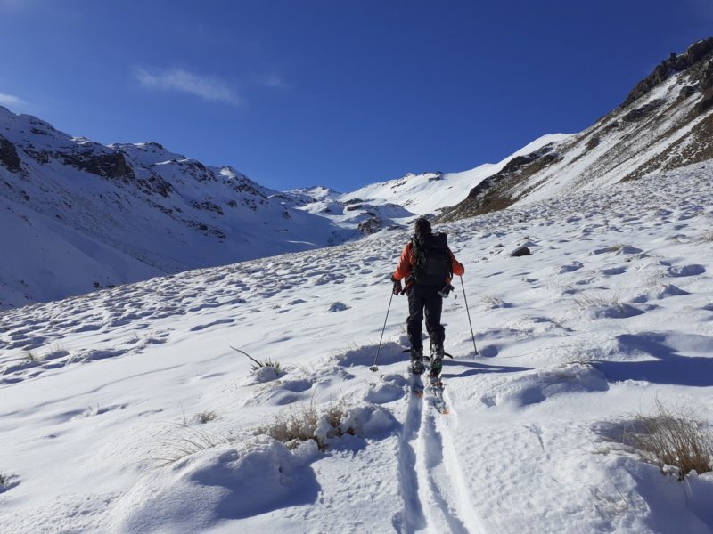
There are a few creek crossings to contend with, as the route meanders its way up.
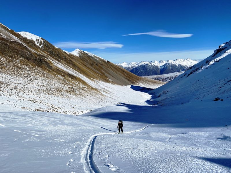
Once the upper basin is reached (1730m on map) there is the option to proceed to the left or right, as you decide. We went to the left, which gave us a wonderful ski descent in chalky boot deep powder, It was unexpectedly good, considering it had been a week since the previous snow fall. The temperatures had stayed cool though…
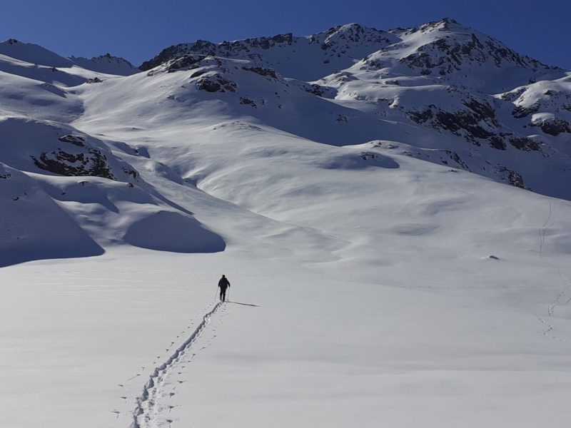
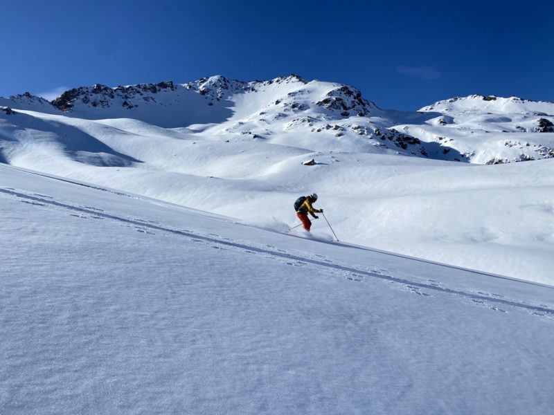
Its quite a long journey into the Third Waterfall basin. It took us 3 hours from the valley floor to the 2000m mark. To expedite it might be a better idea to camp at the bottom of the route in the Macauley river bed. There are many places to camp.
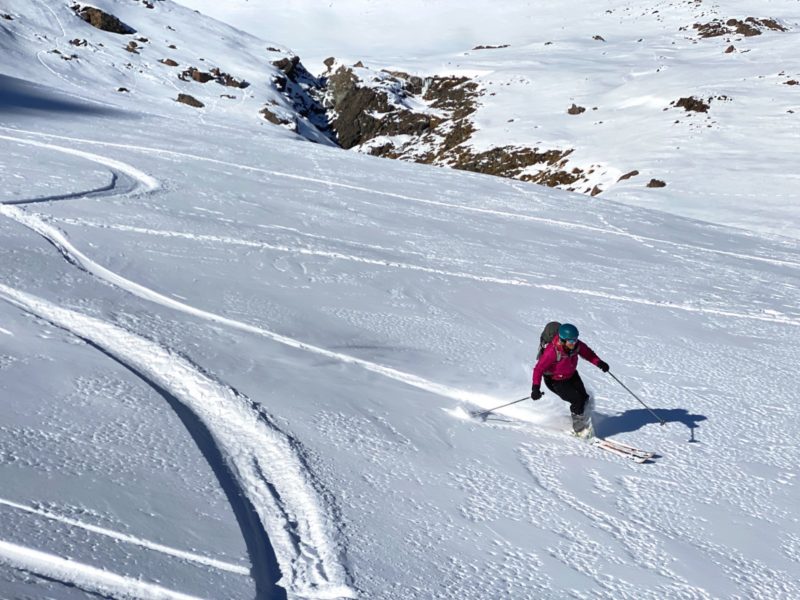
There is plenty of skiing to be had once you reach the upper basins. The area is so vast that we felt we didn’t touch a lot of what is on offer. So we did some investigation, and found out that there is a helicopter stationed at Mesopotamia Station in the Rangitata Valley. Its a Hughes 500 with a payload of 410kg, and in 2021 a flight cost of $1900.00 per hour. An option could be to fly in and camp for a few days..


You must be logged in to post a comment.